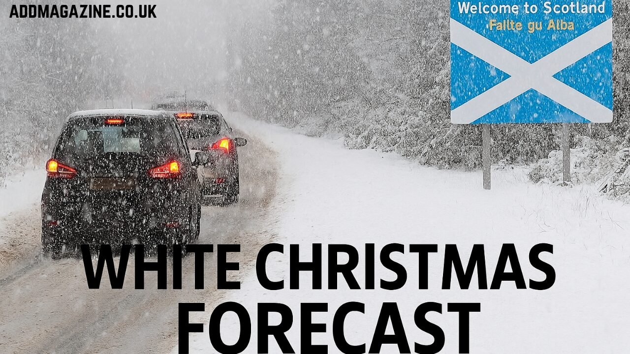
Forecast data from meteorological sources, including Live WX Charts, indicates that a prolonged snowstorm is set to impact the United Kingdom in the lead-up to Christmas. According to the projections, the snow event will begin on the evening of Monday, 23 December, and continue through to the morning of Christmas Day, 25 December. The timing and duration of this event raise the prospect of a white Christmas for some regions, depending on how snow coverage develops and how temperatures hold.
The Met Office and other forecasting agencies are monitoring the situation closely, with updated models expected to refine snowfall predictions over the next week. For now, early indications point to significant snowfall in northern areas before spreading further south into parts of the Midlands by Christmas morning.
Timeline of the Predicted Snowstorm
Start of Snowfall – Monday Evening (23 December)
Initial models suggest snow will begin falling from around 6:00 p.m. on Monday, 23 December. The early wave of precipitation is expected to affect northern Scotland first, gradually intensifying overnight. This will be the leading edge of a larger weather system moving in from the north-west.
Peak Snowfall – Christmas Eve (24 December)
Forecasts point to Christmas Eve as the most intense period of snowfall. The northern and western parts of Scotland could see accumulations of up to 10 centimetres per hour in some locations. This is a high snowfall rate, which could lead to rapid build-up on roads and surfaces.
In northern England, snowfall rates could reach around 1 centimetre per hour in certain areas, particularly in higher elevations and exposed regions. The distribution of snow will be uneven, as coastal areas may see more sleet or mixed precipitation depending on local temperatures.
Southward Spread – Overnight into Christmas Morning (25 December)
By the early hours of Christmas Day, the weather system is projected to push further south, potentially reaching the Midlands. The extent of snow cover in southern regions will depend on whether temperatures remain cold enough to sustain frozen precipitation. If temperatures hover close to freezing, some areas may experience rain or sleet instead.
Regional Impacts
Scotland
Scotland is expected to bear the brunt of the snowstorm. All areas north of Edinburgh are likely to experience prolonged snowfall from late on 23 December through to Christmas morning. Western Scotland may be particularly affected by the combination of heavy snow rates and strong winds, which could cause drifting and reduced visibility.
The Highlands are forecast to see the heaviest accumulations, with some areas potentially recording significant snow depths in a short period of time. Disruption to road travel and local services is a possibility if the snowfall rates match current predictions.
Northern England
Northern England could experience more moderate snowfall compared to Scotland, but it will still be impactful in certain areas. Snowfall on Christmas Eve is expected to be patchy at lower elevations but more consistent in upland regions such as the Pennines. The northwest may also see persistent showers that contribute to gradual accumulation.
Midlands
The Midlands may see snow arriving late on Christmas Eve or early on Christmas Day. However, the extent and intensity in this region remain uncertain, as milder air could limit accumulation. Some areas could wake up to light snow cover, while others might see wet conditions.
Expected Snowfall Rates and Accumulation
Scotland – Heavy Accumulation Rates
The standout figure from current projections is the potential for 10 centimetres of snowfall per hour in northern and western Scotland during the peak of the storm. If this rate persists for several hours, snow depths could build quickly, especially on untreated surfaces.
Northern England – Lighter but Steady Snow
Northern England’s maximum projected rate is around 1 centimetre per hour, which is less extreme but still enough to create travel hazards, particularly if snow begins to compact into ice overnight.
Midlands – Variable Outcomes
Snow in the Midlands could be intermittent and mixed with rain in some areas. If colder air dominates, accumulations could occur, but at present, forecast confidence is lower for this region compared to the north.
Travel and Infrastructure Considerations
The storm’s arrival is significant as it aligns with one of the year’s peak travel periods. Many people will be moving across the country on 23 and 24 December to visit family or take holiday trips. If the snowstorm materialises as projected, road, rail, and air travel could be affected.
- Road Travel: Motorists in Scotland and northern England should be prepared for difficult driving conditions, particularly on rural and high-elevation routes. Snowplough and gritting operations are likely to be in full effect, but heavy snowfall rates can quickly cover treated roads.
- Rail Services: Snow and ice can impact signalling systems and points on rail lines. Services in affected regions may be subject to delays or cancellations.
- Airports: Scottish airports and northern England hubs could see schedule disruptions if runway clearing becomes necessary.
White Christmas Criteria and Likelihood
In meteorological terms, a “white Christmas” is officially recorded in the UK if a single snowflake is observed falling on 25 December at specific weather stations. This does not require snow cover on the ground, though public perception often associates it with waking up to snowy landscapes.
Given the current forecasts, the chances of at least some parts of the UK experiencing a white Christmas this year appear higher than in many recent years. Northern Scotland, in particular, has a strong probability, while the Midlands and northern England have a moderate chance. Southern England’s likelihood remains low at present due to warmer air masses.
Possible Weather System Drivers
Several atmospheric factors may be contributing to the forecast snowstorm:
- Cold Arctic Air: A mass of cold air descending from the north is creating conditions favourable for snow in northern regions.
- Moist Atlantic Systems: Low-pressure systems from the Atlantic are feeding moisture into the colder air mass, increasing the potential for heavy precipitation.
- Jet Stream Positioning: The position and strength of the jet stream appear to be guiding these systems directly into the UK, sustaining unsettled weather over the Christmas period.
Preparation and Safety Measures
For Households
Residents in areas likely to be affected should ensure they have winter supplies ready, including food, heating fuel, and any necessary medical provisions. Power outages are not expected to be widespread but could occur in remote areas during heavy snow.
For Travellers
Those with planned journeys during the 23–25 December window should monitor weather updates closely and consider contingency plans. Booking flexible travel options or allowing extra time may help mitigate disruption.
For Local Authorities
Councils and highway maintenance teams in Scotland and northern England are expected to prepare gritting schedules and snow-clearing equipment in advance. Coordination with emergency services will be important in case of road closures or stranded vehicles.
Historical Context – Snowstorms and Christmas Weather in the UK
The UK has a varied history when it comes to white Christmases. While the image of a snowy festive day is popular, statistically it is relatively rare across most of the country. The last widespread white Christmas occurred in 2010, when snow was reported across large parts of the UK.
More commonly, snow is confined to higher ground and northern regions. A prolonged snowstorm of the kind currently forecast is less frequent in December, with many significant snow events tending to occur in January or February when cold air masses are more entrenched.
Forecast Uncertainty and Next Steps
It is important to note that long-range weather predictions, especially involving snowfall, carry inherent uncertainty. A small shift in the track of the weather system could alter precipitation type and location significantly. Warmer air could intrude further north, reducing snow coverage, while a colder-than-expected profile could expand snow zones into southern England.
Meteorologists will refine the forecast as new data becomes available from weather models and observational networks. Updates from the Met Office in the days leading up to 23 December will provide clearer guidance.
Conclusion
The current forecast points to the potential for a significant snowstorm affecting parts of the UK between 23 and 25 December. Scotland and northern England are most likely to see heavy snowfall, with the Midlands having a smaller but possible chance of snow on Christmas morning. Travel plans may be disrupted, and local authorities are preparing for winter road management.
While the exact outcome remains uncertain, the combination of timing, projected snowfall rates, and cold conditions makes this one of the more notable Christmas period forecasts in recent years. For those hoping for a white Christmas, the prospects in northern regions appear promising, though the situation will need close monitoring in the days ahead.


